

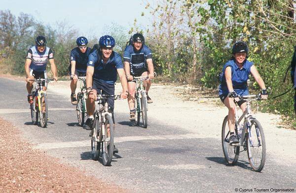
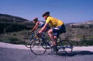
 Lythrodontas Circular Cycling Route
This 45 kilometres route offers some of the most beautiful views that the Machairas Mountains have to offer towards Larnaka Bay (Larnaca Bay) and the Mesaoria plains with Lefkosia (Nicosia) at the centre and the Pentadaktylos Mountains in the distance.
The route starts from the central square of the village of Lythrodontas and heads left towards Kyprovasa just outside the village on the road to Machairas, going through olive groves typical of the area. From Kyprovasa, the course turns to the west towards Profitis Ilias. At the junction with the road leading to Profitis Ilias, the route continues to the left heading south towards Vavatsinia. It is worth stopping here to quench your thirst at the Petris water fountain. After a steady 6 kilometres climb, the route reaches the paved Lefkara – Vavatsinia road.
The village of Vavatsinia itself is situated a short distance away to the right. Once inside the village, and after turning right for Machairas, the steep paved road becomes a dirt road. It goes past the Moutti of Pelekanou peak and continues on a relatively flat bit of road until it reaches the Kionia picnic site. After Kionia the road is downhill for about 10 kilometres and leads to the chapel of Agios Onoufrios. From there, the road heads back to Lythrodontas via the picnic site of Mantra tou Kampiou, at first paved but then becoming a dirt track.
Start Point: Lythrodontas
End Point: Lythrodontas
Total Distance: 45 kilometres
Difficulty Rate: A very difficult course with steep uphills and sudden, lengthy descents. It requires a mountain bike with 24 speeds and a front fork suspension.
Road Conditions: A major part of the course is on rough dirt tracks.
Height Gain: 890 metres
Sourc: Cyprus Tourism Organisation


